
✓ Enhancing sales and marketing literature
✓ Showing scale and layout for planning applications
✓ Providing an immediate overview of the whole development
3D Site Plan, or Aerial CGIs, provide an aerial viewpoint of an entire development. They can show the whole area within its surroundings or in isolation. By clearly showing each element of the development and its relationship to other features that you may wish to highlight, aerial CGIs can give a great overview of the whole site. These 3D Site Plans can either be angled or provide a top-down view, looking straight down at the development. Useful for planning applications as well as sales brochures, 3D Site Plans illustrate the external landscaping features and all the buildings of a development.
"Aerial CGIs can be beneficial to a development as they provide an immediate overview of the site, which can be very useful for planning applications as they’re easier to understand than a 2D site plan."
From a sales and marketing perspective,
3D Site Plans can:
Enhance brochures with eye-catching detailed imagery
Help prospective buyers understand the site layout and orientation
Replace the need for a physical scale model in the marketing suite


Approach & Process
The process for creating 3D Site Plans is:
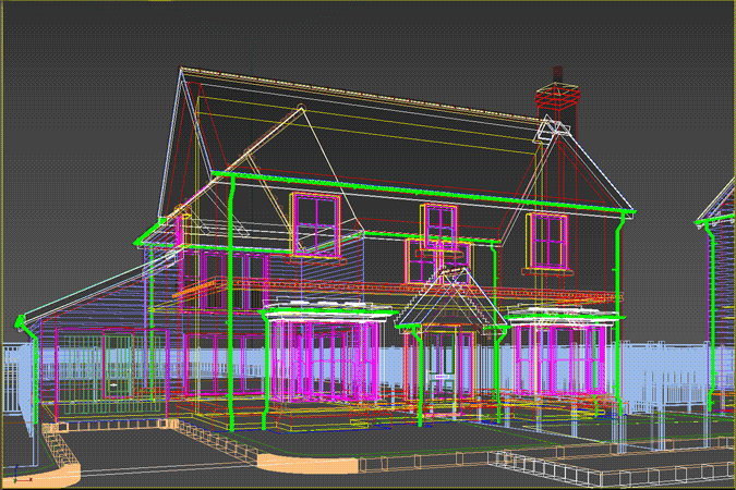
1: Use the architect’s CAD drawings to create the basis of the 3D Floor Plan by producing 2D geometry and creating 3D meshes to lift the landscaping to the appropriate levels.
2: Apply materials, textures and foliage to the site using the landscape designers proposals as a guide.
3: Model each building, placing them on the site model in the position according to the architect’s site layout.
4: Apply building materials using the materials schedule, or as directed by the architect.
5: Surrounding areas will be added using open-source mapping information or by manually adding surrounding buildings in massing form, using surveys or OS data, if required.
6: A draft render is supplied to you for review.
7: Following any technical or marketing comments, we amend the render and re-supply for a final review.
8: The final version is rendered at ultra high resolution to truly appreciate the level of detail included.